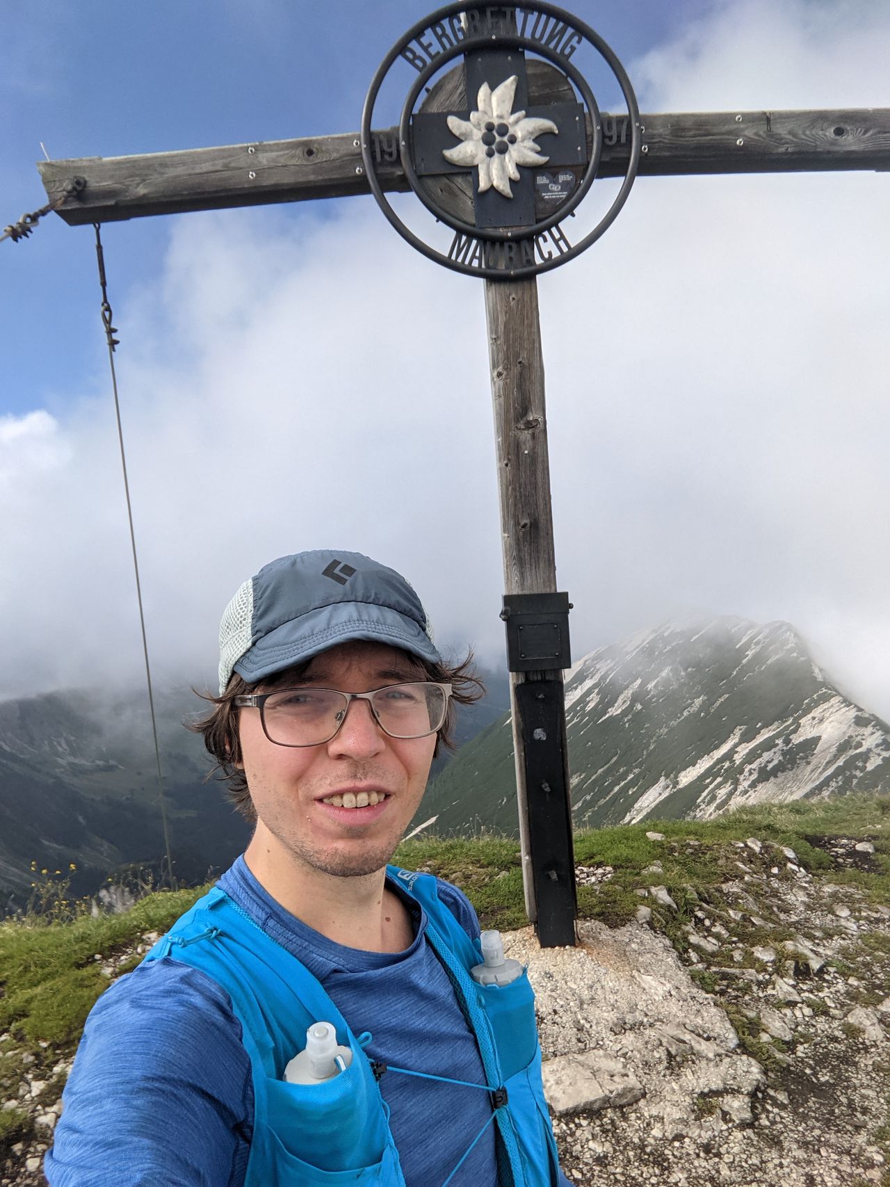
Kramerspitz from Garmisch, via Stepberg-Alpensteig/Gelbes-Gwänd | 1985m
| Elevation gain |
| Elevation loss |
| Distance |
| Duration |
| Highest altitude |
| Rating |
Route Information
(No description available)
Automatic direction calculation (experimental feature, please provide feedback)
By car: Navigate using Google maps
By public transport:
Train station near start point: Garmisch-Partenkirchen (0.0 Km from start point)
Bus stop near start point: Achenfeldstraße (326 m from start point)
Bus stop near start point: Chamonixstraße (373 m from start point)
Train station near end point: Untergrainau (0.0 Km from end point)
Bus stop near end point: Grainau, Gungl Stubn (149 m from end point)
Bus stop near end point: Grainau, Höllentalstraße (1108 m from end point)
------
| Technical Difficulty | Medium | |||||||||||
|---|---|---|---|---|---|---|---|---|---|---|---|---|
| Gear | ||||||||||||
| Popularity | 1 | |||||||||||
Route statistics
| Highest point | 1985m | |||||||||||
|---|---|---|---|---|---|---|---|---|---|---|---|---|
| Total gain | 1334m | |||||||||||
| Total loss | 1299m | |||||||||||
| Duration | 07h22m | |||||||||||
| Distance | 17.9Km | |||||||||||
| Rating | 1278 | |||||||||||
Best Season
Forecast
Author