Hochalm (Sylvensteinstausee) | 1427m
| Elevation gain |
| Elevation loss |
| Distance |
| Duration |
| Highest altitude |
| Rating |
Route Information
Relaxed, easy afterwork Tour
Automatic direction calculation (experimental feature, please provide feedback)
By car: Navigate using Google maps
By public transport:
Train station near start point: Lenggries (10.9 Km from start point)
------
| Technical Difficulty | Easy | |||||||||||
|---|---|---|---|---|---|---|---|---|---|---|---|---|
| Gear | ||||||||||||
| Popularity | 3 | |||||||||||
Route statistics
| Highest point | 1427m | |||||||||||
|---|---|---|---|---|---|---|---|---|---|---|---|---|
| Total gain | 641m | |||||||||||
| Total loss | 634m | |||||||||||
| Duration | 03h00m | |||||||||||
| Distance | 8.1Km | |||||||||||
| Rating | 759 | |||||||||||
Best Season
Forecast
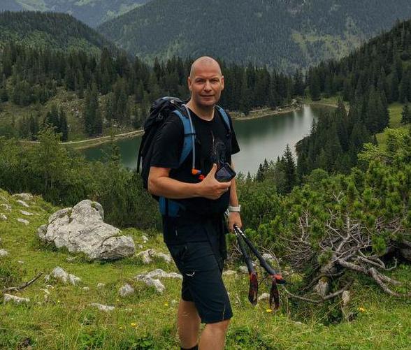
Author