Brunnsteinspitze to Karwendel spitze Ridge (Mittenwalder Klettersteig) | 2358m
| Elevation gain |
| Elevation loss |
| Distance |
| Duration |
| Highest altitude |
| Rating |
Route Information
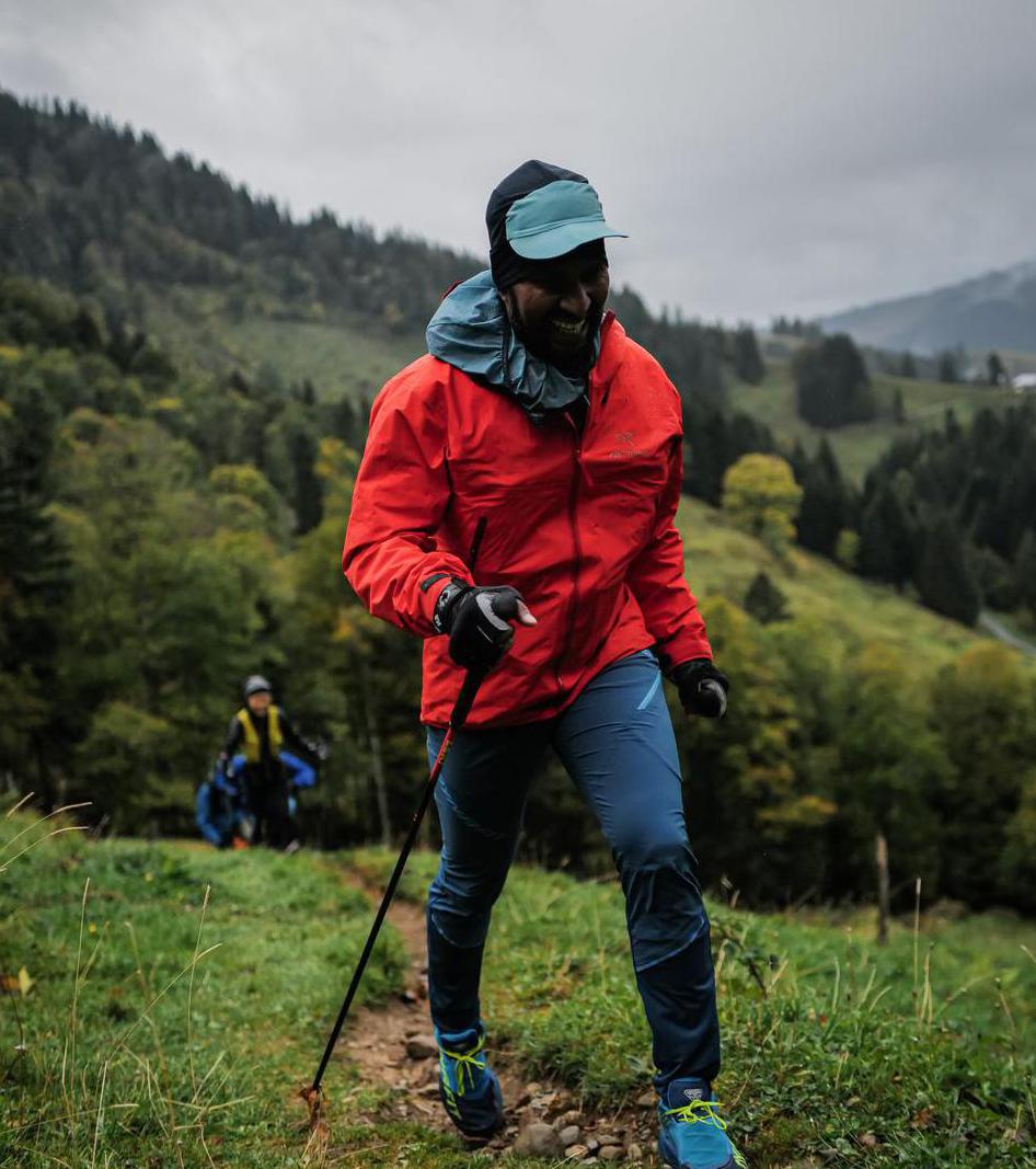
Awesome Ridge in Karwendel..
The hike starts from Scharnitz and climb to
Brunnsteinspitze from south side of the mountain. Then we can continue till
Tiroler Hut. from there we can take the Klettersteig (B) way (Mittenwelder
Klettersteig) to Kirchlspitz and then Karwendelspitze or we can avoid the
Klettersteig and take the trail to left after Tiroler hutte like the one in
outdooractive maps
(https://www.outdooractive.com/en/route/hiking-trail/seefeld/brunnsteinspitze-and-karwendelspitze/121076994/?share=%7Ezjut7vwk%244ossd4qe).
Both the ways there is considerable amount of
scrambling. So, it’s definitely not for inexperienced hikers but only
recommended for highly experienced regular hikers.
I am waiting for summer now: D
Automatic direction calculation (experimental feature, please provide feedback)
By car: Navigate using Google maps
By public transport:
Train station near start point: Scharnitz (0.1 Km from start point)
Bus stop near start point: Scharnitz Gemeindeamt (209 m from start point)
Bus stop near start point: Scharnitz Gh Risserhof (214 m from start point)
Train station near end point: Mittenwald (0.1 Km from end point)
Bus stop near end point: Mittenwald Bahnhof/Postamt (44 m from end point)
Ref : 2
------
Automatic hut detection (experimental feature, please provide feedback)
Mittenwalder Hütte (1518 m):
Website: Homepage
Url: Homepage
Phone: +49-172-8558877
Location: Google maps
------
| Technical Difficulty | Difficult | |||||||||||
|---|---|---|---|---|---|---|---|---|---|---|---|---|
| Gear | ||||||||||||
| Popularity | 4 | |||||||||||
Route statistics
| Highest point | 2358m | |||||||||||
|---|---|---|---|---|---|---|---|---|---|---|---|---|
| Total gain | 1662m | |||||||||||
| Total loss | 1716m | |||||||||||
| Duration | 08h07m | |||||||||||
| Distance | 14.0Km | |||||||||||
| Rating | 1672 | |||||||||||
Best Season
Forecast
Author