Hoher Ziegspitz to Bavarian Caribbean | 1864m
| Elevation gain |
| Elevation loss |
| Distance |
| Duration |
| Highest altitude |
| Rating |
Route Information
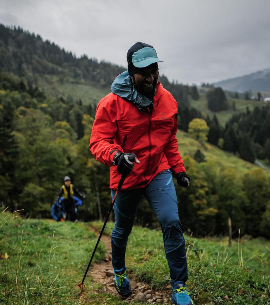
The main aim of this route is to cover the Bavarian Caribbean with the best of Zugspitze from the top of Hoher Ziegspitz.
It would be a long but not very difficult hike.
Automatic direction calculation (experimental feature, please provide feedback)
By car: Navigate using Google maps
By public transport:
Train station near start point: Untergrainau (0.0 Km from start point)
Bus stop near start point: Grainau, Gungl Stubn (161 m from start point)
Bus stop near start point: Grainau, Höllentalstraße (1116 m from start point)
Train station near end point: Eibsee (0.1 Km from end point)
Bus stop near end point: Eibsee (241 m from end point)
------
| Technical Difficulty | Medium | |||||||||||
|---|---|---|---|---|---|---|---|---|---|---|---|---|
| Gear | ||||||||||||
| Popularity | 0 | |||||||||||
Route statistics
| Highest point | 1864m | |||||||||||
|---|---|---|---|---|---|---|---|---|---|---|---|---|
| Total gain | 1477m | |||||||||||
| Total loss | 1203m | |||||||||||
| Duration | 07h48m | |||||||||||
| Distance | 18.6Km | |||||||||||
| Rating | 1355 | |||||||||||
Best Season
Forecast
Author