Ettaler Manndl - Eschenlohe -> Oberammergau | 1681m
| Elevation gain |
| Elevation loss |
| Distance |
| Duration |
| Highest altitude |
| Rating |
Route Information
A tour in Ammergaur alps.
Visiting the following peaks:
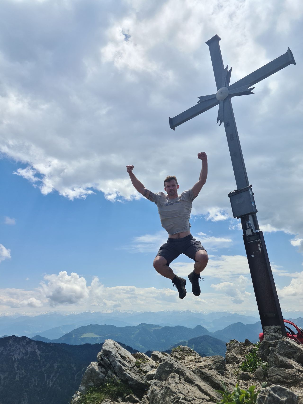
- Ettaler Manndl, 1636m
- Laber, 1686m
- Latschenkopfel, 1509m
Ettaler Manndl (also known as Ettaler Mandl) is a 1633-meter-high limestone peak in the Ammergau Alps (also known as the Ammergebirge), which rises from a wooded side ridge of the Laber, which is 1686 meters high at its highest point.
From the foot of the summit structure to the summit there is a climbing section (UIAA I+), which is not technically difficult and is secured throughout, but is still a challenge for inexperienced climbers due to the exposed and crumbly and increasingly worn limestone. The climbing passage is tricky in wet or icy conditions, especially in spring and autumn. Unspractised climbers should therefore avoid the summit. Recently there have been more accidents, some of them fatal.
Webcam: https://www.bergfex.com/laber-oberammergau/webcams/c14506/
| Technical Difficulty | Difficult | |||||||||||
|---|---|---|---|---|---|---|---|---|---|---|---|---|
| Gear | Hiking Boots , Klettersteig Set , Helmet , Gloves | |||||||||||
| Popularity | 5 | |||||||||||
Route statistics
| Highest point | 1681m | |||||||||||
|---|---|---|---|---|---|---|---|---|---|---|---|---|
| Total gain | 1201m | |||||||||||
| Total loss | 1003m | |||||||||||
| Duration | 08h10m | |||||||||||
| Distance | 21.8Km | |||||||||||
| Rating | 1370 | |||||||||||
Best Season
Forecast
Author