Brünstlkreuz to Felderkopf | 1928m
| Elevation gain |
| Elevation loss |
| Distance |
| Duration |
| Highest altitude |
| Rating |
Route Information
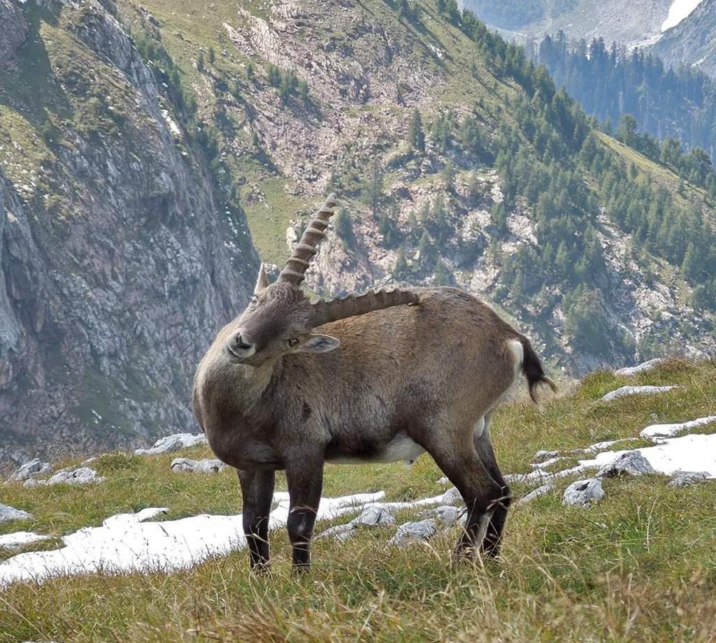
Relatively easy hike, whose appeal lies in the fact that you can make a very promising ridge from the Brünstlkreuz to the Windstierlkopf without any great differences in altitude. Notkarspitze and Kienjoch form the backdrop in the north, Hirschbühel, Kramerspitz and behind the Zugspitze in the south. For experienced hikers, the combination with the Kramerspitz offers a fantastic addition to a big round. But also sure-footedness is required.
Starting point: Pflegersee (850m) close to Garmisch.
Automatic direction calculation (experimental feature, please provide feedback)
By car: Navigate using Google maps
By public transport:
Train station near start point: Farchant (2.6 Km from start point)
Bus stop near start point: Schwaigwang (1393 m from start point)
Bus stop near start point: Burgrain (1516 m from start point)
------
| Technical Difficulty | Medium | |||||||||||
|---|---|---|---|---|---|---|---|---|---|---|---|---|
| Gear | ||||||||||||
| Popularity | 1 | |||||||||||
Route statistics
| Highest point | 1928m | |||||||||||
|---|---|---|---|---|---|---|---|---|---|---|---|---|
| Total gain | 1265m | |||||||||||
| Total loss | 1155m | |||||||||||
| Duration | 07h26m | |||||||||||
| Distance | 17.7Km | |||||||||||
| Rating | 1270 | |||||||||||
Best Season
Forecast
Author