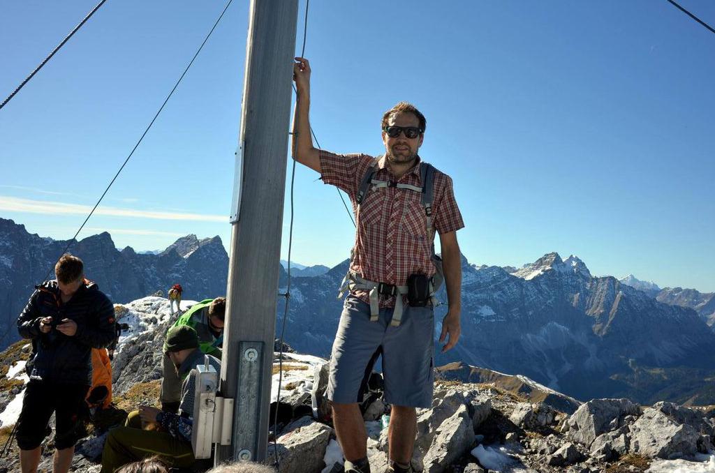
Drachensee Igelrunde | 2245m
| Elevation gain |
| Elevation loss |
| Distance |
| Duration |
| Highest altitude |
| Rating |
Route Information
Igelrunde hike to Sebensee, Drachensee and Igelsee, around 15km from carpark, 7h walk
Automatic direction calculation (experimental feature, please provide feedback)
By car: Navigate using Google maps
By public transport:
Train station near start point: Ehrwald Zugspitzbahn (5.7 Km from start point)
------
Automatic hut detection (experimental feature, please provide feedback)
Coburger Hütte (1927 m):
Website: Homepage
Phone: +43 6643254714
Wikipedia: Wikipedia page
Location: Google maps
Seeben Alm (1566 m):
Location: Google maps
------
Begineers please do not join the hike. Hiking can be dangerous, Insurance like DAV or similar insurance are always recommended in case of rescue.
| Technical Difficulty | Medium Difficult | |||||||||||
|---|---|---|---|---|---|---|---|---|---|---|---|---|
| Gear | Hiking Boots | |||||||||||
| Popularity | 2 | |||||||||||
Route statistics
| Highest point | 2245m | |||||||||||
|---|---|---|---|---|---|---|---|---|---|---|---|---|
| Total gain | 905m | |||||||||||
| Total loss | 905m | |||||||||||
| Duration | 05h00m | |||||||||||
| Distance | 12.6Km | |||||||||||
| Rating | 1008 | |||||||||||
Best Season
Forecast
Author