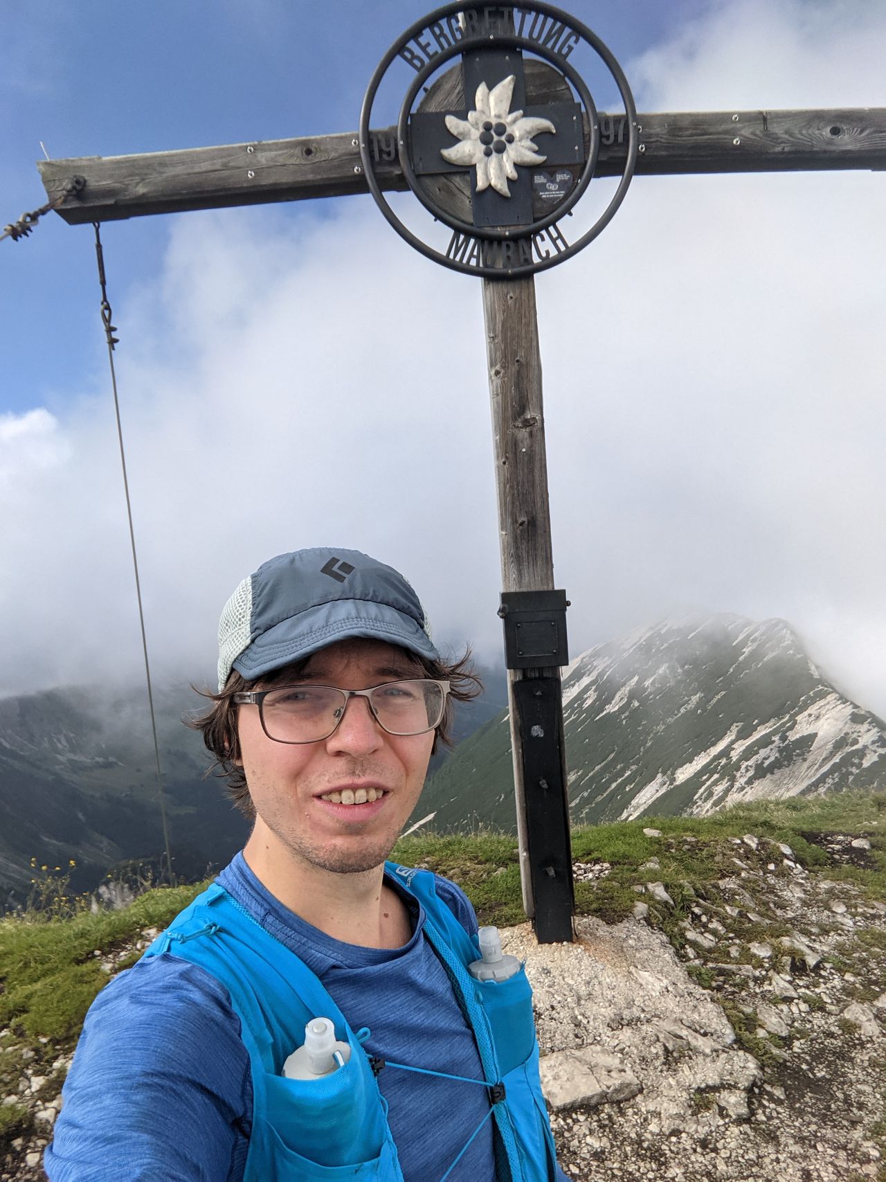
Westliche Törlspitze via Kälbersteig and Reintal | 2427m
| Elevation gain |
| Elevation loss |
| Distance |
| Duration |
| Highest altitude |
| Rating |
Route Information
The route goes up to Schachen via the Kaelbersteig, and then the standard way up and down to Meilerhuette and Westliche Toerlspitze. Then on the way down it goes through the Reintal back to Garmisch.
On the way up and down this route avoids the 5 Euro fee for the Partnachklamm.
Automatic direction calculation (experimental feature, please provide feedback)
By car: Navigate using Google maps
By public transport:
Train station near start point: Garmisch-Partenkirchen (0.0 Km from start point)
Bus stop near start point: Achenfeldstraße (351 m from start point)
Bus stop near start point: Chamonixstraße (391 m from start point)
------
Automatic hut detection (experimental feature, please provide feedback)
Meilerhütte (2366 m):
Wikipedia: Wikipedia page
Location: Google maps
------
| Technical Difficulty | Medium | |||||||||||
|---|---|---|---|---|---|---|---|---|---|---|---|---|
| Gear | ||||||||||||
| Popularity | 1 | |||||||||||
Route statistics
| Highest point | 2427m | |||||||||||
|---|---|---|---|---|---|---|---|---|---|---|---|---|
| Total gain | 2088m | |||||||||||
| Total loss | 2088m | |||||||||||
| Duration | 14h40m | |||||||||||
| Distance | 32.3Km | |||||||||||
| Rating | 2128 | |||||||||||
Best Season
Forecast
Author